


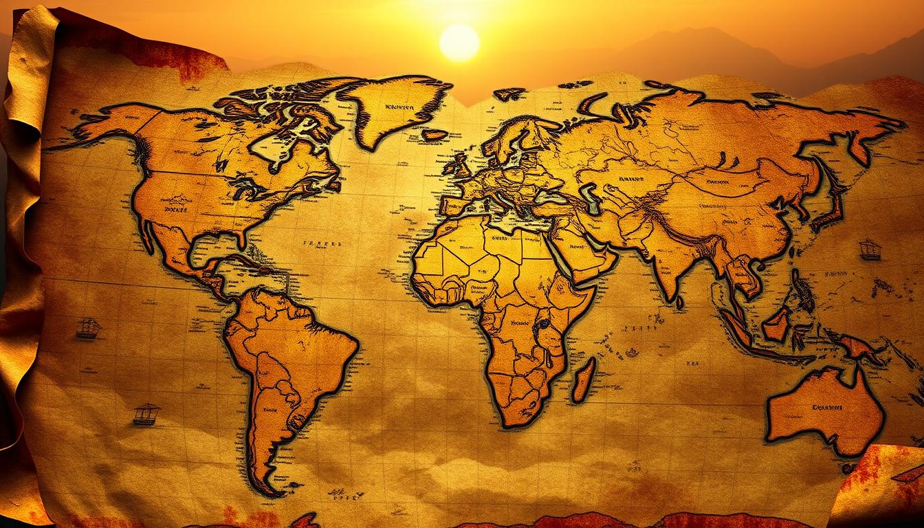
Maps have been key to civilizations for ages, mixing usefulness with tales. From clay to digital, historical cartography shows how people saw their world. Early maps helped navigate, but later, they became tools for power, discovery, and learning.
Consider Guillaume de L’Isle’s 1718 La Louisiane map. This cartographic history highlight changed geographic exploration, showing the Mississippi River with great detail. The French made it to claim land, leading to conflicts that changed countries. Maps were more than guides; they were tools of influence.
Maps have evolved from medieval mappae mundi to today’s digital maps. They carry cultural values and knowledge. They show trade paths, battle plans, and where people moved, helping us understand history. This piece looks at how maps changed exploration, politics, and education, showing their lasting map influence through time.
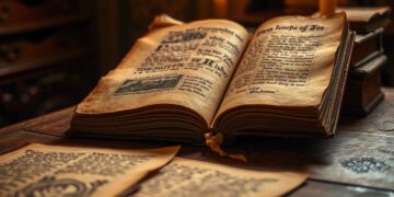
The Birth of Cartography
The first ancient maps showed up around 5000 BCE in Mesopotamia, on clay tablets. By 2300 BCE, Babylonian maps mapped out land and water paths. These early maps helped people manage farms and trade.
Later, Claudius Ptolemy came up with Ptolemy’s geography in the 2nd century. He used math to create maps with latitude and longitude. His work built on the Babylonians, making maps a science.
From clay to parchment, cartography grew from local to global. Ancient wisdom meets modern tech in today’s digital maps.
The Role of Maps in Exploration
In the age of discovery, exploration maps were key for finding new lands. Explorers like Christopher Columbus used these maps, but they were often wrong. Columbus thought he was heading to Asia, but he found the Americas instead.
These early navigation charts helped explorers find their way and discover new places.

Gerardus Mercator changed maritime exploration with his 1569 map. His design made long sea trips safer. Portuguese portolan charts showed detailed coastlines, helping sailors navigate.
Mercator’s maps made them more than just records. They were tools for exploration.
Explorers brought back new information, updating maps with their findings. These updates showed the world’s growth and change. Cartographers mixed local knowledge with European skills, expanding our understanding of the world.
Military Strategy: Maps on the Battlefield
War maps were more than tools—they were lifelines. Generals like Ulysses S. Grant used military mapping to turn terrain into weapons. A single hill or river could decide between retreat and victory.
During the American Civil War, publishers like James T. Lloyd made strategic cartography affordable. They sold maps for as little as 25 cents. This informed both soldiers and civilians.
“A map is the soldier’s silent ally,” wrote Lt. William H. Willcox. He helped create the iconic Map of the Battlefield of Antietam. This 1862 document showed troop positions down to individual regiments.
Maps also served as propaganda. H. H. Lloyd’s 1863 map highlighted Union gains in yellow, boosting morale. Northern newspapers used military mapping to track battles.
Prang & Company’s interactive maps let users mark movements in red and blue. But, E.G. Arnold’s D.C. fortifications map was pulled for revealing vulnerabilities.
From Civil War trenches to Dwight Eisenhower’s WWII planning, strategic cartography has shaped history. Even today, Mahan’s 1897 studies guide naval strategies. This shows that the ground itself is a battlefield’s first ally.
The Impact of Technological Advancements
Satellite mapping changed how we see the world. Starting in the 1970s, satellites like Landsat showed Earth’s surface in real time. They uncovered hidden landscapes.
These tech leaps allowed for detailed views of far-off places. They changed how we plan for the environment and cities.

GIS systems came in the late 20th century. They combined data layers to make interactive digital maps. Unlike old paper maps, these tools let users quickly analyze different data.
GPS later improved location accuracy even more. It could pinpoint positions almost exactly.
Now, digital maps help billions every day. Apps like Google Earth, launched in 2005, let people explore 3D landscapes. Street View, introduced in 2006, mapped over 87 countries, mixing satellite images with street views.
These tools made cartography accessible to everyone. What was once a specialized skill is now in our pockets. From Landsat’s orbit to your phone’s GPS, mapping tech keeps changing how we navigate and understand our world.
Maps and Colonialism
Colonial cartography became a tool of power, shaping our world today. European nations used maps to claim territories, turning empty spaces into lands to conquer. By 1886, British cartographer Walter Crane’s detailed maps showed their empire’s control.
The Berlin Conference of 1884–1885 was a key moment. European powers divided Africa into imperial maps, ignoring local cultures. These lines, drawn without local input, cause conflicts today.
Indigenous mapping traditions, like the Cherokee’s 1721 deerskin map, were erased. Colonial maps renamed places, replacing native knowledge with European names. In India, British surveyors ignored local geographies, focusing on their claims.
Even Egypt’s 1865 commission to American mapmakers showed this control. These maps weren’t neutral. They erased histories, like the Potawatomi Tribe’s displacement via U.S. treaties, or the Sudanese resistance against British forces using outdated maps.
The legacy remains: borders drawn by colonial rulers divide communities. Colonial cartography was more than geography. It was a tool of domination, rewriting the world in Europe’s image.
The Influence of Maps on Politics
Maps have always played a big role in politics. They help shape borders and show who has power. In ancient times, maps helped create empires. Today, they define countries and cause border disputes.
In the 17th century, the Peace of Westphalia (1648) used geopolitical maps to set up state sovereignty. This turned vague areas into clear countries. These maps often led to wars, showing how maps can shape reality before armies do.
Nazi Germany used map propaganda to justify growing its territory. Cartographers erased borders in Eastern Europe, showing “Lebensraum” to justify invasions. Cold War maps also divided the world into blocs, making ideological differences clear. Today, maps over places like Kashmir or the South China Sea show how political cartography can cause tension.
Today’s geopolitical maps can distort our view of the world. The Mercator projection, while good for navigation, made Europe seem bigger than Africa. This showed colonial-era biases. In 2002, only 17% of U.S. students could find Afghanistan, showing how map literacy is key to understanding the world. Countries like China want foreign platforms to change maps to show their claims, showing maps are political battlegrounds.
“Germany needed ‘Lebensraum’ to prosper and grow into a world power.” — Karl Haushofer, 20th-century geopolitician
Maps are more than just lines and colors. They are tools of power. From ancient treaties to digital platforms, they shape who has influence and whose stories are forgotten.
Maps as Tools for Social Change
Mapping isn’t just about geography—it’s a tool for justice. In the 1800s, social mapping emerged to expose hidden truths. John Snow’s 1855 cholera map showed how contaminated water caused disease, saving lives.
Today, community cartography lets people see inequality. Maps from the 20th century revealed racial housing discrimination. Modern maps show toxic pollution in poor neighborhoods.
Participatory mapping is a game-changer. Communities now make their own maps, marking important places. These maps challenge official stories and demand fairness. GIS technology and apps like Ushahidi make it easy for anyone to track issues.
These tools don’t just show where things are—they show who gets left behind. When people map their own stories, they take back power. Maps are now blueprints for justice, showing every neighborhood deserves to be seen.
The Art of Cartography
Decorative maps have always connected science and beauty. The Hereford Mappa Mundi, made in 1300 AD, mixed religious symbols with geography. It placed Jerusalem at the center and included mythical creatures like dragons. This showed how maps reflected medieval beliefs.

As time went on, map designs changed. In the Baroque era, maps became symbols of wealth for European nobles. They featured fancy borders and cartouches. Islamic cartographers used geometric shapes to show landscapes, while East Asian maps were like scrolls that told stories.
Today, map-making is all about finding a balance. Designers use colors and simple designs to show data. But the core idea remains the same: maps are a way to see human creativity. From old sea monsters to today’s digital maps, they carry the pulse of history.
The Global Perspective of Maps
Eratosthenes was a pioneer in mapping Earth with meridians and parallels. His work helped us understand our planet’s shape. Later, map projections influenced how cultures saw power and geography.
Mercator’s 1569 map made navigation easier but made sizes wrong. Greenland seemed as big as Africa, but Africa is 14 times bigger. These errors misled us for centuries. Now, maps like Gall-Peters show Africa’s real size.
“The True Size of Africa” visualization by Kai Krause highlights how map projections choices shape our worldview.
Satellite images give us a clear view of Earth, showing its curves. Google Earth’s 3D models let us explore without map flaws. But, why do most maps center Europe? The north-up view comes from colonial times.
Today, cartography tries to balance science and ethics. Projections like Robinson aim to show oceans and continents right. Every map is a compromise, showing we need to question our view of the world.
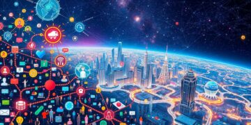
Maps in the Age of the Internet
Digital maps and GPS navigation guide us everywhere. Apps like Google Maps use real-time traffic and street images. They turn our phones into navigation tools. Online tools let anyone edit or make maps, making cartography interactive.
These platforms use AI to analyze data like weather and population trends. They create maps that change with the world.

Modern online mapping has made mapmaking open to everyone. OpenStreetMap, a community project, lets users add new details. This shift means maps now show local knowledge in real time.
But, it also raises questions. Who owns the data? How is location information used?
GPS apps save time on travel. Delivery services use map data to find the best routes. Businesses use heatmaps to track customer traffic, blending sales data with geography.
Interactive cartography helps in disaster response, showing flood zones or evacuation routes. As more data comes in, maps get smarter. They predict traffic jams or suggest the nearest coffee shop.
The Future of Cartography
3D mapping and augmented reality maps are changing how we see spaces. Imagine walking through a city with AR that shows historical sites or emergency routes. These tools blend virtual and real worlds, making navigation safer and more fun.
Virtual cartography lets planners design cities in 3D before building them. They can test how water flows or traffic moves. This helps avoid problems later on.
NASA’s Mars terrain models show how Earth’s methods work on other planets. Satellites and rovers gather data for detailed maps of other worlds. This helps us plan for future space missions.
Real-time data from sensors and satellites updates maps quickly. It tracks things like wildfires or traffic. AI analyzes this data fast, predicting climate changes or city growth.
But there are challenges. Privacy issues come up with AR apps tracking people. Not everyone has access to these new tools. Finding a balance between innovation and ethics is key. We must make sure these technologies help us without losing trust or fairness.
Conclusion: The Enduring Legacy of Maps
Maps are more than tools; they tell stories and carry legacies. They show how our understanding of space has shaped us. From ancient times to today, maps have helped us make sense of the world.
Maps show power and perspective through borders. The Treaty of Sèvres and the Iron Curtain are examples. Now, apps like Google Maps make this power available to all. The future will bring new technologies, but maps will always help us find our way.
Maps help us organize the world, from stars to our brains. They’ve evolved from clay tablets to quantum computing. Maps will keep changing, but their core purpose remains the same: to guide us through the unknown.